MapPlanner
25.82mi
Distance
3h20m
Duration
7.75mph
Speed
+322ft
Elevation gain
-318ft
Elevation loss
Moderate
Level

Piste vélo Lapébie : Lasternes à La Sauve

Abbey of La Sauve-Majeure

Route details

1756 kcal
Calories burned
0.5%
Avg grade
Loop trail
Route type
16ft
Min altitude
259ft
Max altitude

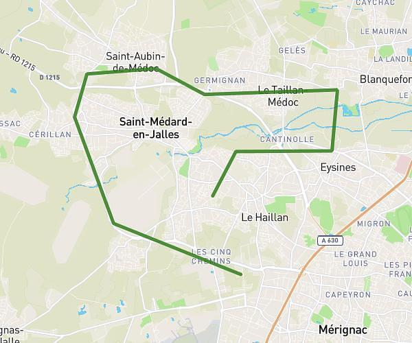
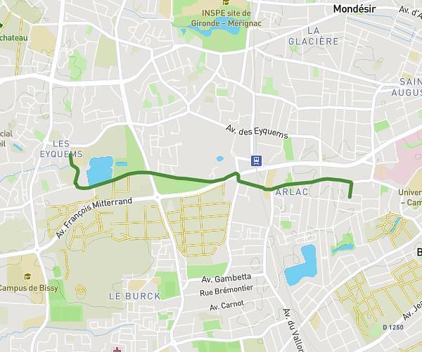
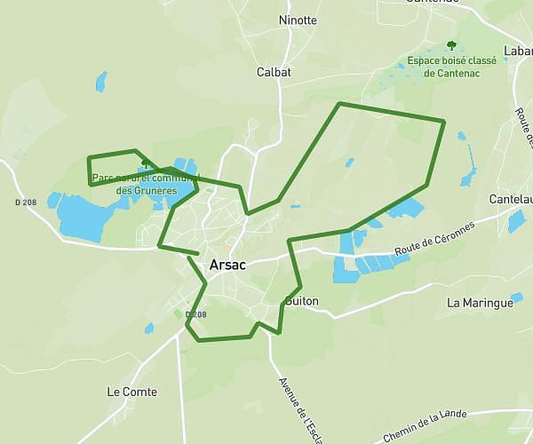
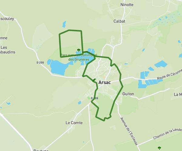
This cycling route covers 25.82mi starting from Latresne, Gironde. The ride is a loop trail and returns to the trailhead. This route is rated as moderate, plan for about 3h20m to complete it. The route has an elevation gain of 322ft and an elevation loss of 318ft.

Description of the route by the creator

First part of the Lapébie trail entirely dedicated to bikes

(Description automatically translated)

Route profile

322ft
Elevation gain
318ft
Elevation loss
16ft
Min altitude
259ft
Max altitude

How to get there

Trailhead: 2 Rue De La Salargue, 33360 Latresne, France

GPS coordinates of the trailhead: 44.78606, -0.49873 / 44°47'9'' N, 0°29'55'' W

Caution: May Cross Private Property

This route may pass through or near private property. Always respect posted signs, obtain permission where required, and follow local trespassing laws. MapPlanner does not guarantee public access along any route.

Safety Notice

Trail and road conditions may change without notice due to weather, construction, or other factors. Always verify current conditions before heading out. You are responsible for your own safety — follow local signage, obey traffic laws, and use your best judgment on the trail.