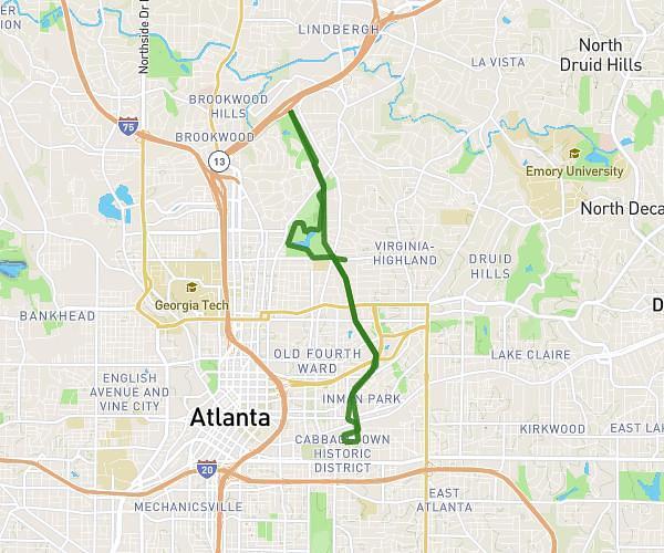
This running route covers 4.486mi starting from Atlanta, Georgia. The run is a loop trail and returns to the trailhead. This run is rated as easy, expect about 1h3m to complete it. The route has an elevation gain of 620ft and an elevation loss of 614ft.
Run Atlanta
Route details
4.28mph
Speed
720 kcal
Calories burned
Loop trail
Route type
876ft
Min altitude
1020ft
Max altitude
Route profile
620ft
Elevation gain
614ft
Elevation loss
876ft
Min altitude
1020ft
Max altitude
How to get there
Trailhead: 3414 Peachtree Road Northeast, Atlanta, Georgia 30326, United States
GPS coordinates of the trailhead: 33.84968, -84.36354 / 33°50'58'' N, 84°21'48'' W