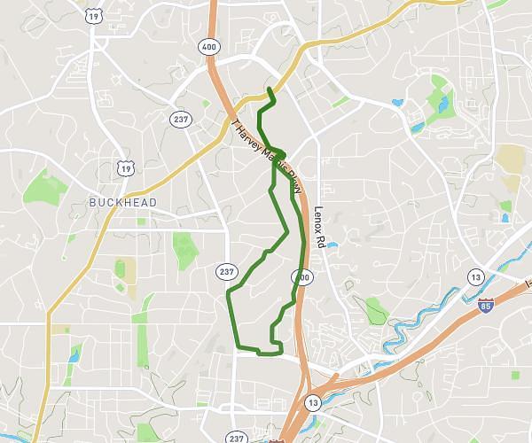
This running route covers 10.432mi starting from Atlanta, Georgia. The run does not return to the trailhead and ends near 1011 Monroe Drive Northeast, Atlanta, Georgia 30306, United States. This run is rated as hard, expect about 12h54m to complete it. The route has an elevation gain of 135ft and an elevation loss of 92ft.
Feb 14, 2026
Route details
0.81mph
Speed
8859 kcal
Calories burned
Point to point
Route type
856ft
Min altitude
991ft
Max altitude
Route profile
135ft
Elevation gain
92ft
Elevation loss
856ft
Min altitude
991ft
Max altitude
How to get there
Trailhead: 650 Virginia Avenue Northeast, Atlanta, Georgia 30306, United States
GPS coordinates of the trailhead: 33.781562, -84.3661 / 33°46'53'' N, 84°21'57'' W