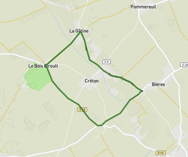
This running route covers 2.43mi starting from Dreux, Eure-et-Loir. The run is a loop trail and returns to the trailhead. This run is rated as easy, expect about 30m to complete it. The route has an elevation gain of 167ft and an elevation loss of 171ft.
Dreux
Route details
4.86mph
Speed
343 kcal
Calories burned
Loop trail
Route type
295ft
Min altitude
318ft
Max altitude
Route profile
167ft
Elevation gain
171ft
Elevation loss
295ft
Min altitude
318ft
Max altitude
How to get there
Trailhead: Rue Du Commandant Beaurepaire, 28100 Dreux
GPS coordinates of the trailhead: 48.74042, 1.37025 / 48°44'25'' N, 1°22'12'' E