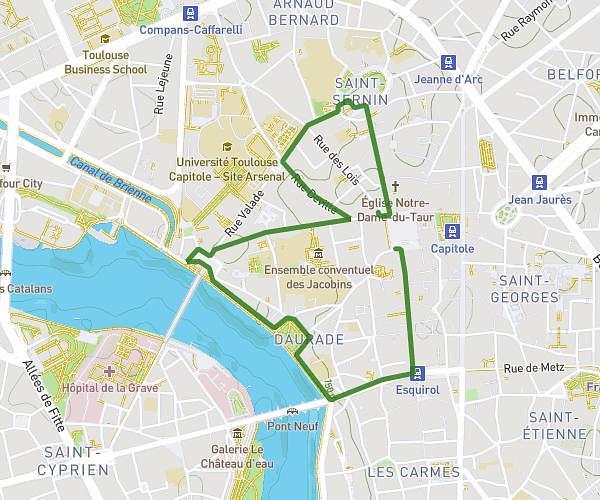
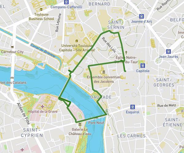
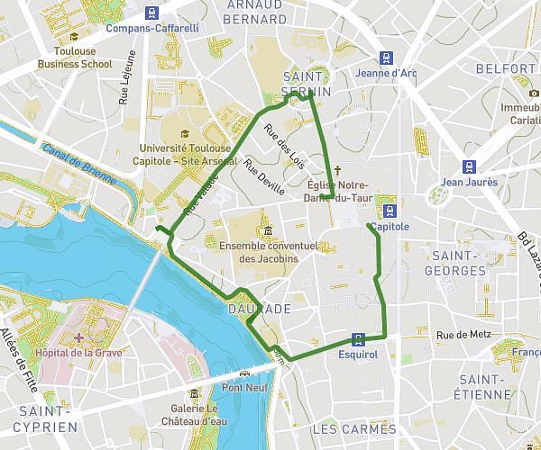
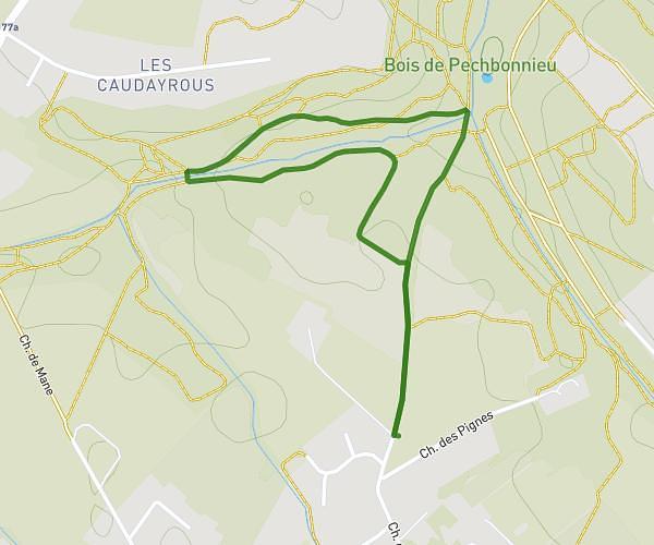
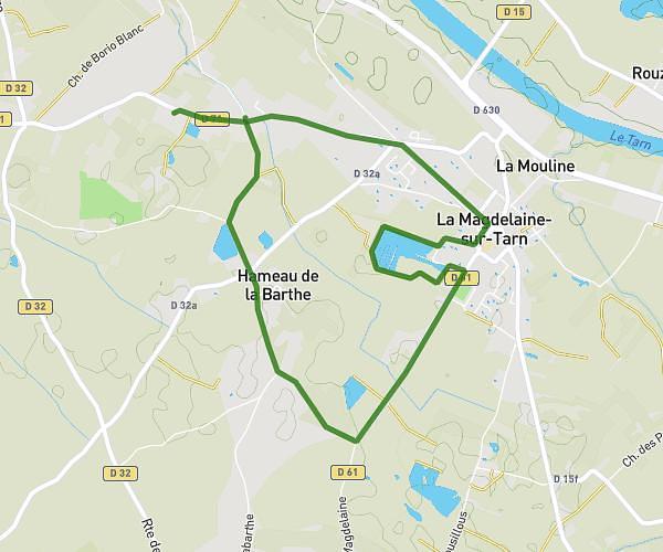
This walking route covers 8.402mi starting from Villemur-sur-Tarn, Haute-Garonne. The walk is a loop trail and returns to the trailhead. This walk is rated as strenuous, plan for about 2h31m to complete it. The route has an elevation gain of 197ft and an elevation loss of 197ft.
22 mars 2026
Route details
18:03/mi
Pace
619 kcal
Calories burned
Loop trail
Route type
305ft
Min altitude
331ft
Max altitude
Route profile
197ft
Elevation gain
197ft
Elevation loss
305ft
Min altitude
331ft
Max altitude
How to get there
Trailhead: Rond-Point François Mitterrand, 31340 Villemur-sur-Tarn, France
GPS coordinates of the trailhead: 43.858707, 1.500972 / 43°51'31'' N, 1°30'3'' E