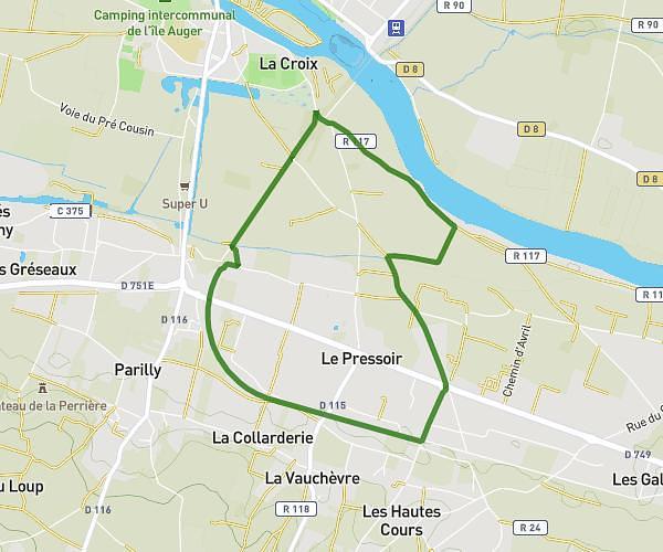
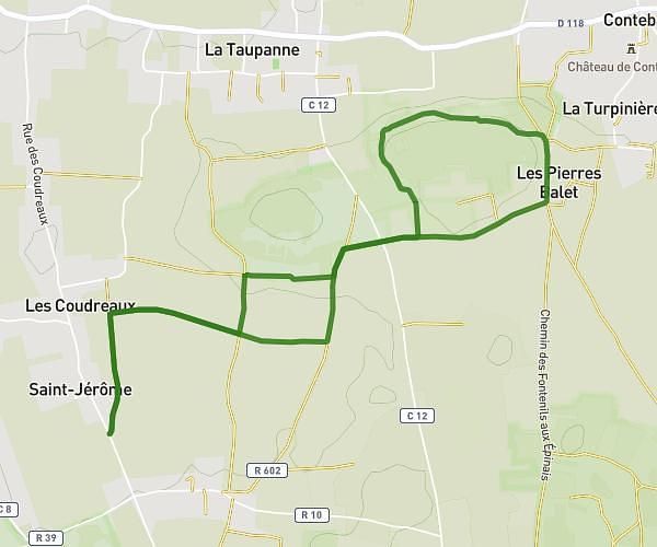
This walking route covers 5.999mi starting from Nouâtre, Indre-et-Loire. The walk does not return to the trailhead and ends near D 58, 37120 Pouzay. This walk is rated as hard, plan for about 2h9m to complete it. The route has an elevation gain of 171ft and an elevation loss of 184ft.
Journée cohésion - 11ème GMEA - 03/06/2025.
Route details
21:30/mi
Pace
527 kcal
Calories burned
Point to point
Route type
118ft
Min altitude
223ft
Max altitude
Route profile
171ft
Elevation gain
184ft
Elevation loss
118ft
Min altitude
223ft
Max altitude
How to get there
Trailhead: Rue Guillaume, 37800 Nouâtre
GPS coordinates of the trailhead: 47.05491, 0.55611 / 47°3'17'' N, 0°33'21'' E