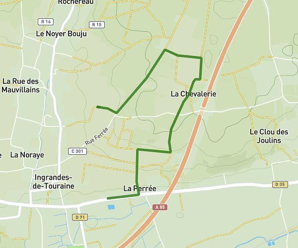
This walking route covers 3.559mi starting from Chinon, Indre-et-Loire. The walk is a loop trail and returns to the trailhead. This walk is rated as moderate, plan for about 1h54m to complete it. The route has an elevation gain of 72ft and an elevation loss of 72ft.
projet voie verte a voir
Route details
32:11/mi
Pace
468 kcal
Calories burned
Loop trail
Route type
92ft
Min altitude
131ft
Max altitude
Route profile
72ft
Elevation gain
72ft
Elevation loss
92ft
Min altitude
131ft
Max altitude
How to get there
Trailhead: Chemin Du Clos Moury, 37500 Chinon
GPS coordinates of the trailhead: 47.14906, 0.2377 / 47°8'56'' N, 0°14'15'' E