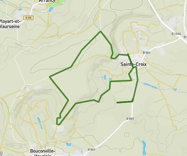
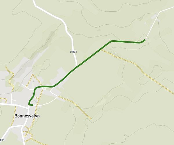
This running route covers 4.931mi starting from Chaillevois, Aisne. The run is a loop trail and returns to the trailhead. This run is rated as easy, expect about 44m56s to complete it. The route has an elevation gain of 112ft and an elevation loss of 128ft.
Bourguignon
Route details
6.59mph
Speed
514 kcal
Calories burned
Loop trail
Route type
246ft
Min altitude
358ft
Max altitude
Route profile
112ft
Elevation gain
128ft
Elevation loss
246ft
Min altitude
358ft
Max altitude
How to get there
Trailhead: 9 Rue Derrière Les Aulnes, 02000 Chaillevois, France
GPS coordinates of the trailhead: 49.51436, 3.52611 / 49°30'51'' N, 3°31'33'' E