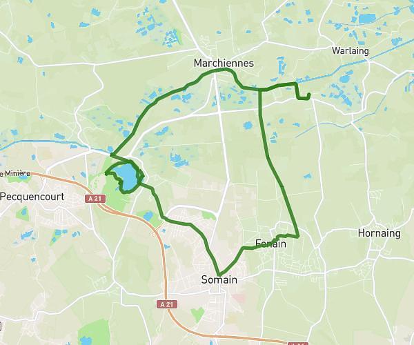
This hiking trail covers 3.653mi starting from Flines-lès-Mortagne, Nord. The hike is a loop trail and returns to the trailhead. This hike is rated as easy, plan for about 59m2s to complete it. The route has an elevation gain of 148ft and an elevation loss of 148ft.
Parcours à 8000 pas
Route details
3.72mph
Speed
419 kcal
Calories burned
1.5%
Avg grade
Loop trail
Route type
52ft
Min altitude
85ft
Max altitude
Route profile
148ft
Elevation gain
148ft
Elevation loss
52ft
Min altitude
85ft
Max altitude
How to get there
Trailhead: Rue Aristide Barbieux, 59158 Flines-lès-Mortagne
GPS coordinates of the trailhead: 50.51101, 3.46892 / 50°30'39'' N, 3°28'8'' E