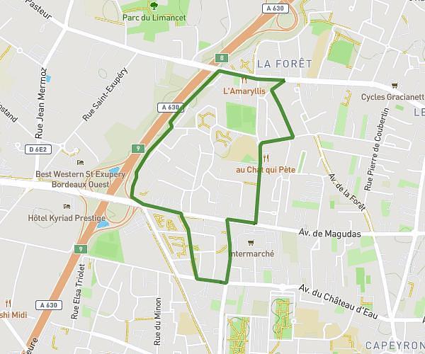
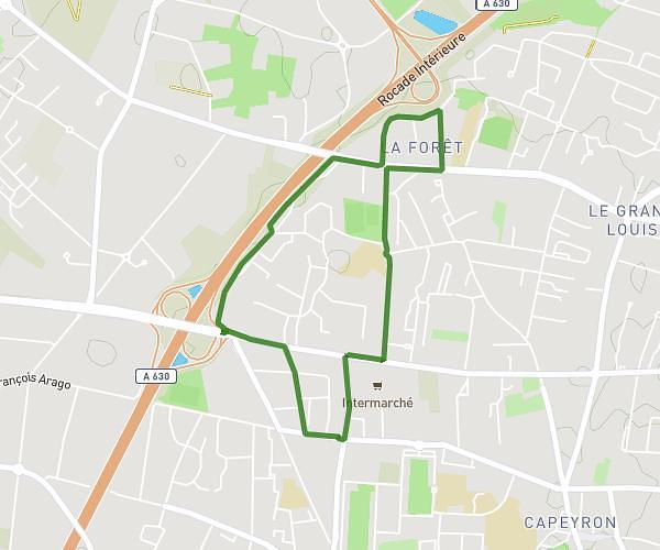
This running route covers 3.248mi starting from Blanquefort, Gironde. The run is a loop trail and returns to the trailhead. This run is rated as easy, expect about 29m to complete it. The route has an elevation gain of 72ft and an elevation loss of 66ft.
Fx Parcours blanquefort
Route details
6.72mph
Speed
332 kcal
Calories burned
Loop trail
Route type
13ft
Min altitude
82ft
Max altitude
Route profile
72ft
Elevation gain
66ft
Elevation loss
13ft
Min altitude
82ft
Max altitude
How to get there
Trailhead: 24 Rue De La Renney, 33290 Blanquefort, France
GPS coordinates of the trailhead: 44.91279, -0.62551 / 44°54'46'' N, 0°37'31'' W