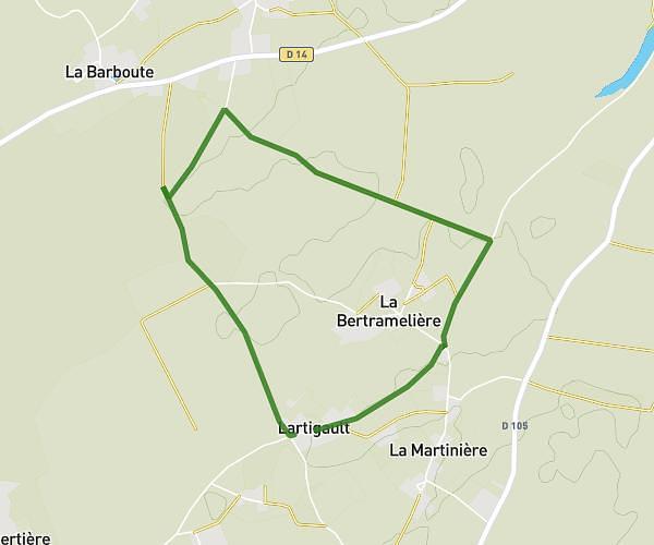
This running route covers 6.544mi starting from Saint-Martin-du-Clocher, Charente. The run is a loop trail and returns to the trailhead. This run is rated as moderate, expect about 1h3m to complete it. The route has an elevation gain of 354ft and an elevation loss of 354ft.
SMDC
Route details
6.23mph
Speed
720 kcal
Calories burned
Loop trail
Route type
354ft
Min altitude
449ft
Max altitude
Route profile
354ft
Elevation gain
354ft
Elevation loss
354ft
Min altitude
449ft
Max altitude
How to get there
Trailhead: 4 Route De Montalembert, 16700 Saint-Martin-du-Clocher, France
GPS coordinates of the trailhead: 46.06014, 0.15439 / 46°3'36'' N, 0°9'15'' E