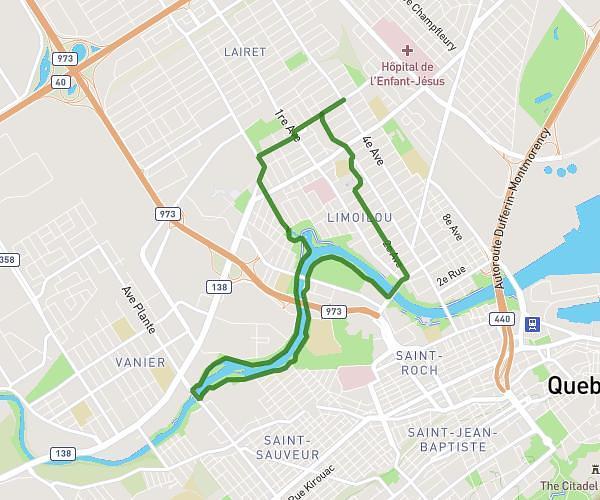
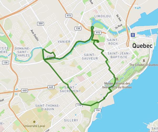
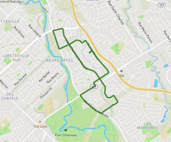
This running route covers 14.554mi starting from Québec, Quebec. The run does not return to the trailhead and ends near 235 Boulevard Wilfrid-Hamel, Québec, Quebec G1L 5A7, Canada. This run is rated as strenuous, expect about 1h50m to complete it. The route has an elevation gain of 233ft and an elevation loss of 171ft.
demi de québec
Route details
7.92mph
Speed
1260 kcal
Calories burned
Point to point
Route type
-33ft
Min altitude
197ft
Max altitude
Route profile
233ft
Elevation gain
171ft
Elevation loss
-33ft
Min altitude
197ft
Max altitude
How to get there
Trailhead: Rue De L'exposition, Québec, Quebec G1L 5A7, Canada
GPS coordinates of the trailhead: 46.826395, -71.249456 / 46°49'35'' N, 71°14'58'' W