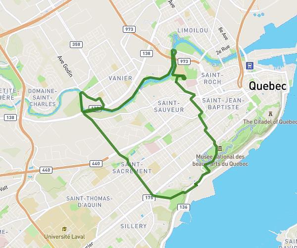
This running route covers 5.247mi starting from Québec, Quebec. The run does not return to the trailhead and ends near 500 22e Rue, Québec, Quebec G1J 3E4, Canada. This run is rated as moderate, expect about 56m to complete it. The route has an elevation gain of 299ft and an elevation loss of 302ft.
8 km rivière
Route details
5.62mph
Speed
640 kcal
Calories burned
Point to point
Route type
-3ft
Min altitude
52ft
Max altitude
Route profile
299ft
Elevation gain
302ft
Elevation loss
-3ft
Min altitude
52ft
Max altitude
How to get there
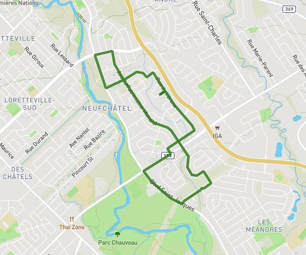
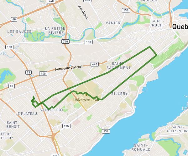
Trailhead: 2192 Boulevard Benoît-Xv, Québec, Quebec G1L 3A2, Canada
GPS coordinates of the trailhead: 46.834002, -71.237231 / 46°50'2'' N, 71°14'14'' W