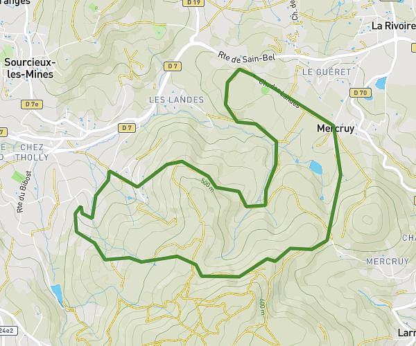
This hiking trail covers 1.549mi starting from Lyon, Rhône. The hike does not return to the trailhead and ends near Quai De Bondy, 69005 Lyon. This hike is rated as easy, plan for about 37m23s to complete it. The route has an elevation gain of 197ft and an elevation loss of 167ft.
Test 2 - Balade lyonnaise
Route details
2.49mph
Speed
272 kcal
Calories burned
4.5%
Avg grade
Point to point
Route type
541ft
Min altitude
591ft
Max altitude
Route profile
197ft
Elevation gain
167ft
Elevation loss
541ft
Min altitude
591ft
Max altitude
How to get there
Trailhead: Pont Wilson, 69003 Lyon
GPS coordinates of the trailhead: 45.76004, 4.84076 / 45°45'36'' N, 4°50'26'' E