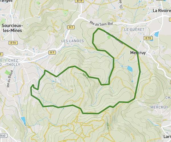
This hiking trail covers 5.101mi starting from Lyon, Rhône. The hike does not return to the trailhead and ends near Cours Charlemagne, 69002 Lyon. This hike is rated as easy, plan for about 2h3m to complete it. The route has an elevation gain of 367ft and an elevation loss of 331ft.
Test visite fleuves 1
Route details
2.49mph
Speed
882 kcal
Calories burned
2.6%
Avg grade
Point to point
Route type
528ft
Min altitude
591ft
Max altitude
Route profile
367ft
Elevation gain
331ft
Elevation loss
528ft
Min altitude
591ft
Max altitude
How to get there
Trailhead: Berges Du Rhône, 69003 Lyon
GPS coordinates of the trailhead: 45.75893, 4.84016 / 45°45'32'' N, 4°50'24'' E