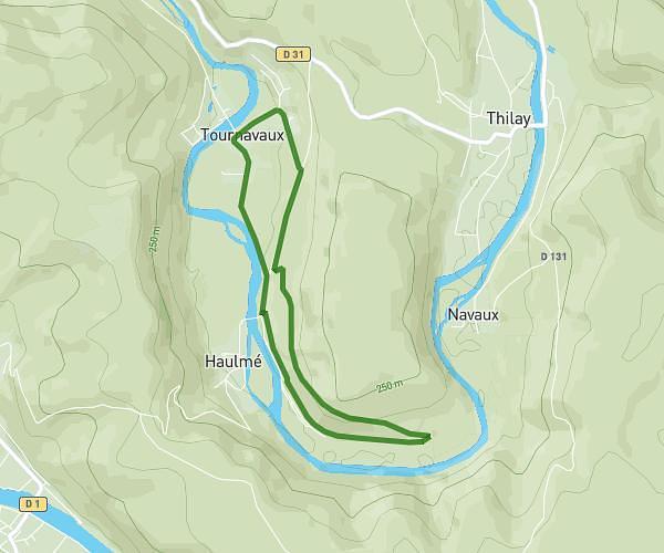
This hiking trail covers 5.449mi starting from Monthermé, Ardennes. The hike does not return to the trailhead and ends near 309a Rue Du Falligeois, 08800 Les Hautes-Rivières, France. This hike is rated as moderate, plan for about 1h27m to complete it. The route has an elevation gain of 545ft and an elevation loss of 1257ft.
roc la tour 2
Route details
3.73mph
Speed
633 kcal
Calories burned
6.3%
Avg grade
Point to point
Route type
502ft
Min altitude
1368ft
Max altitude
Route profile
545ft
Elevation gain
1257ft
Elevation loss
502ft
Min altitude
1368ft
Max altitude
How to get there
Trailhead: Route Forestière Des Éteignères, 08800 Monthermé, France
GPS coordinates of the trailhead: 49.8904, 4.7833 / 49°53'25'' N, 4°46'59'' E