MapPlanner
12.56mi
Distance
1h16m
Duration
9.92mph
Speed
+328ft
Elevation gain
-328ft
Elevation loss
Moderate
Level

Tour chasse 1

Route details

669 kcal
Calories burned
1.0%
Avg grade
Loop trail
Route type
62ft
Min altitude
154ft
Max altitude

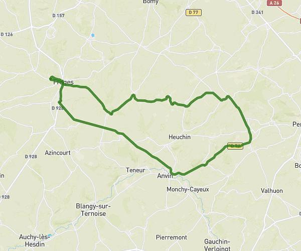
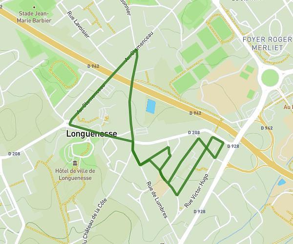
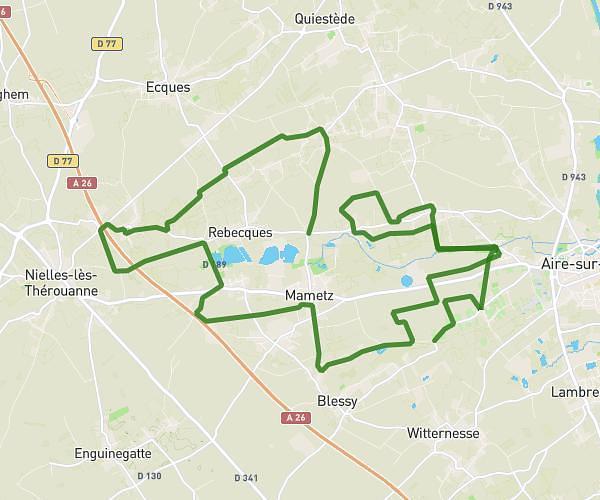
This cycling route covers 12.56mi starting from Aire-sur-la-Lys, Pas-de-Calais. The ride is a loop trail and returns to the trailhead. This route is rated as moderate, plan for about 1h16m to complete it. The route has an elevation gain of 328ft and an elevation loss of 328ft.

Route profile

328ft
Elevation gain
328ft
Elevation loss
62ft
Min altitude
154ft
Max altitude

How to get there

Trailhead: Chemin De Monbus, 62120 Aire-sur-la-Lys, France

GPS coordinates of the trailhead: 50.62658, 2.3575 / 50°37'35'' N, 2°21'26'' E

Caution: May Cross Private Property

This route may pass through or near private property. Always respect posted signs, obtain permission where required, and follow local trespassing laws. MapPlanner does not guarantee public access along any route.

Safety Notice

Trail and road conditions may change without notice due to weather, construction, or other factors. Always verify current conditions before heading out. You are responsible for your own safety — follow local signage, obey traffic laws, and use your best judgment on the trail.