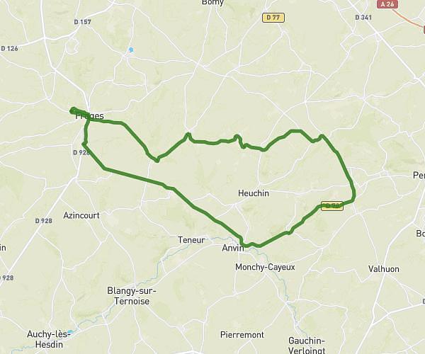
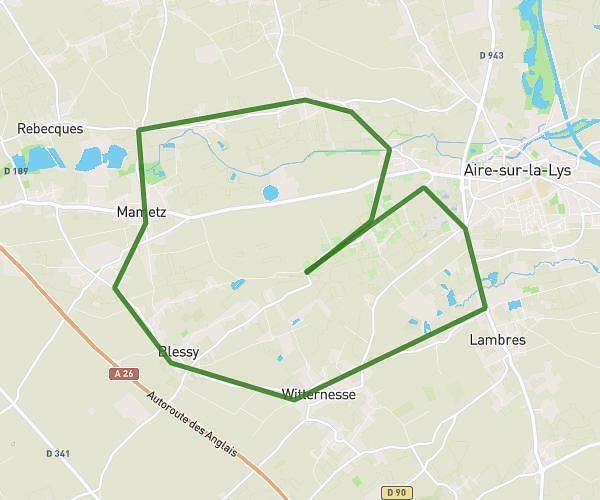
This cycling route covers 20.214mi starting from Saint-Augustin, Pas-de-Calais. The ride does not return to the trailhead and ends near 218 Route De Blessy, 62120 Aire-sur-la-Lys, France. This route is rated as moderate, plan for about 3h15m to complete it. The route has an elevation gain of 194ft and an elevation loss of 180ft.
timeo 2
Route details
1712 kcal
Calories burned
0.4%
Avg grade
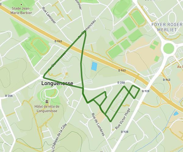
Point to point
Route type
72ft
Min altitude
210ft
Max altitude
Route profile
194ft
Elevation gain
180ft
Elevation loss
72ft
Min altitude
210ft
Max altitude
How to get there
Trailhead: Rue Du Général De Gaulle, 62120 Saint-Augustin, France
GPS coordinates of the trailhead: 50.64473, 2.32395 / 50°38'41'' N, 2°19'26'' E