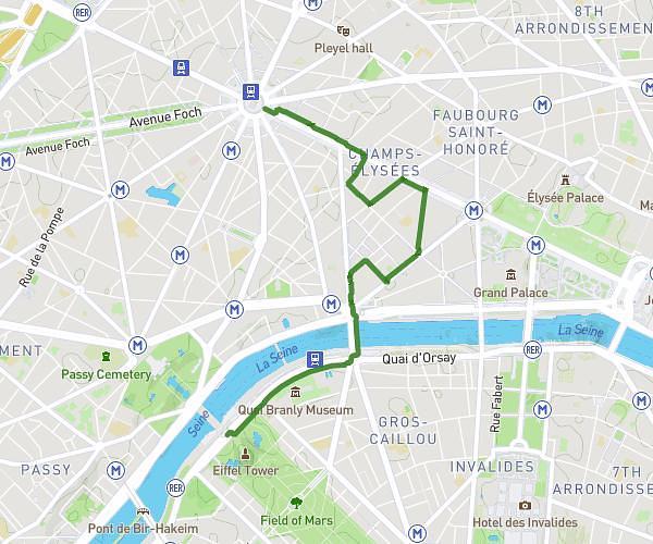
Explore this hiking route of 4.13km starting from Paris, Paris. The hike does not return to the starting point and ends near Avenue Daumesnil, 75012 Paris. This hike has no defined difficulty level, plan for about 1h22m to complete it. The route has a positive elevation gain of 30m and a negative elevation loss of 30m.
Bercy
Route details
Route profile
30m
Elevation +
30m
Elevation -
40m
Min altitude
46m
Max altitude
How to get there
Route starting point: Place De La Bastille, 75012 Paris
GPS coordinates of the starting point: 48.85311, 2.36885 / 48°51'11'' N, 2°22'7'' E
Calculate the time to reach the starting point from your location or an address