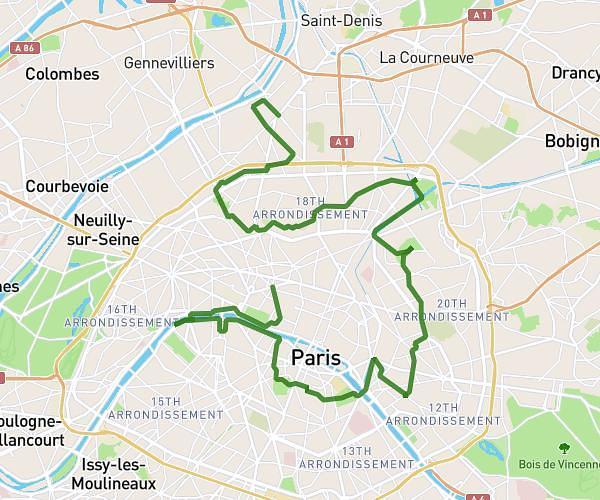
This hiking trail covers 2.108mi starting from Île-de-France, Paris. The hike does not return to the trailhead and ends near Pont D'iéna, 75007 Paris. This hike is rated as easy, plan for about 40m42s to complete it. The route has an elevation gain of 253ft and an elevation loss of 331ft.
Rally Equipe 2
Route details
3.11mph
Speed
296 kcal
Calories burned
5.2%
Avg grade
Point to point
Route type
72ft
Min altitude
223ft
Max altitude
Route profile
253ft
Elevation gain
331ft
Elevation loss
72ft
Min altitude
223ft
Max altitude
How to get there
Trailhead: Place Charles De Gaulle, 75016 Paris
GPS coordinates of the trailhead: 48.87354, 2.29582 / 48°52'24'' N, 2°17'44'' E