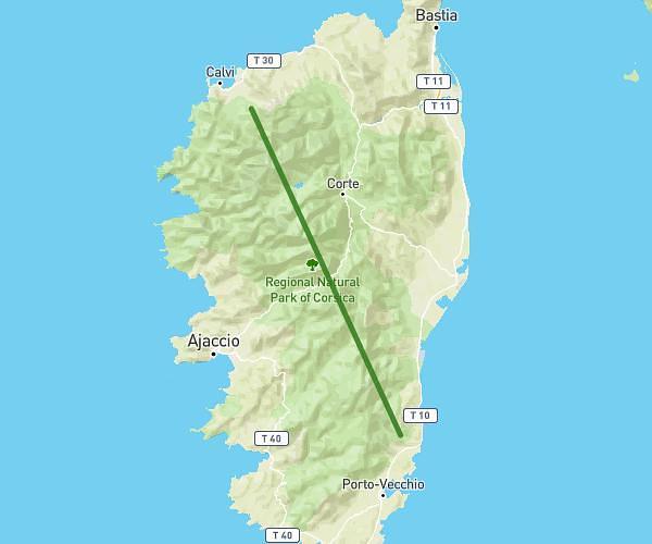
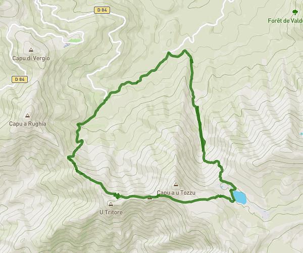
This hiking trail covers 9.928mi starting from Albertacce, Haute-Corse. The hike is a loop trail and returns to the trailhead. This hike is rated as strenuous, plan for about 1h36m to complete it. The route has an elevation gain of 2661ft and an elevation loss of 2651ft.
Ninu
Route details
6.21mph
Speed
729 kcal
Calories burned
10.1%
Avg grade
Loop trail
Route type
3776ft
Min altitude
6152ft
Max altitude
Steep climb
Route profile
2661ft
Elevation gain
2651ft
Elevation loss
3776ft
Min altitude
6152ft
Max altitude
How to get there
Trailhead: D 84, 20224 Albertacce, France
GPS coordinates of the trailhead: 42.27497, 8.90332 / 42°16'29'' N, 8°54'11'' E