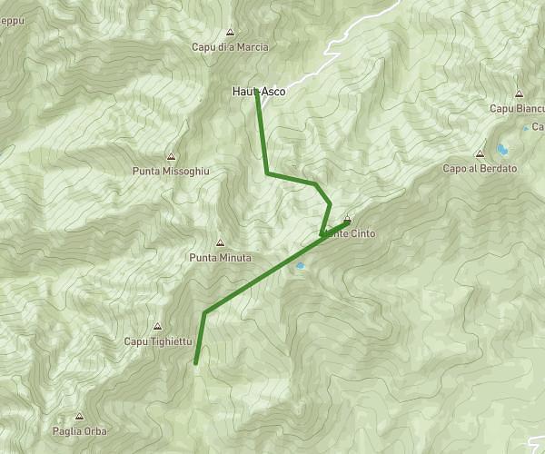
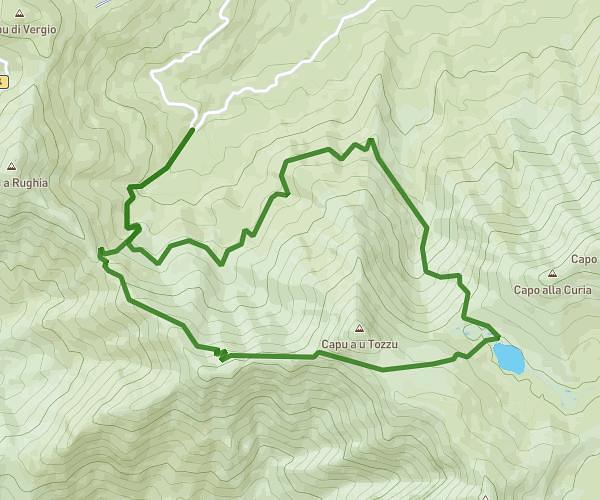
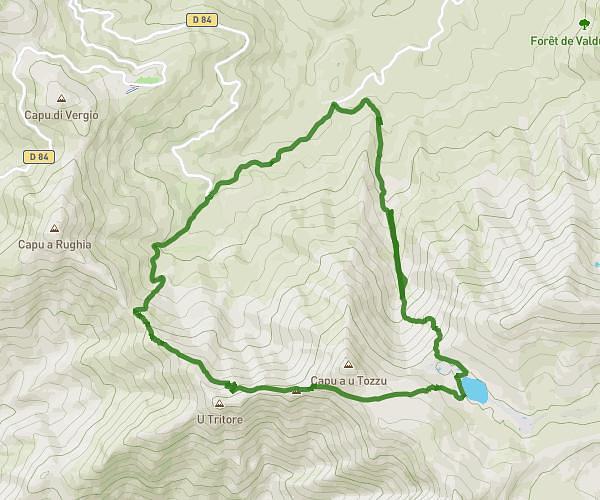
This hiking trail covers 106.479mi starting from Calenzana, Haute-Corse. The hike does not return to the trailhead and ends near 4 Strada D'à Crucedda, 20135 Conca, France. This hike is rated as strenuous, plan for about 1h19m to complete it. The route has an elevation gain of 38323ft and an elevation loss of 38438ft.
GR20
Route details
80.78mph
Speed
616 kcal
Calories burned
13.7%
Avg grade
Point to point
Route type
860ft
Min altitude
7274ft
Max altitude
Steep climb
Route profile
38323ft
Elevation gain
38438ft
Elevation loss
860ft
Min altitude
7274ft
Max altitude
How to get there
Trailhead: 155 Strada Di L'inghjurantini, 20214 Calenzana, France
GPS coordinates of the trailhead: 42.507235, 8.858298 / 42°30'26'' N, 8°51'29'' E