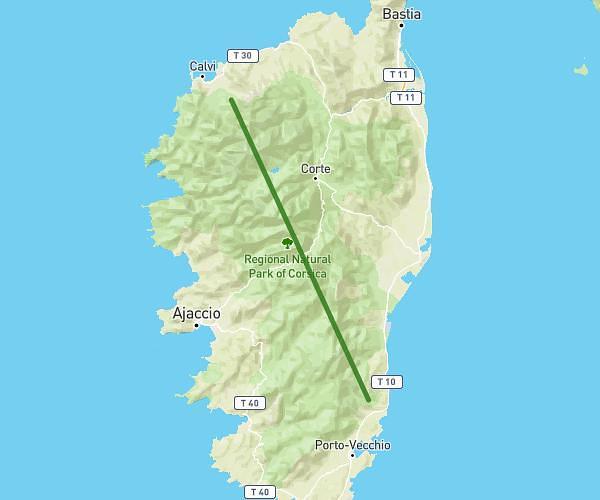
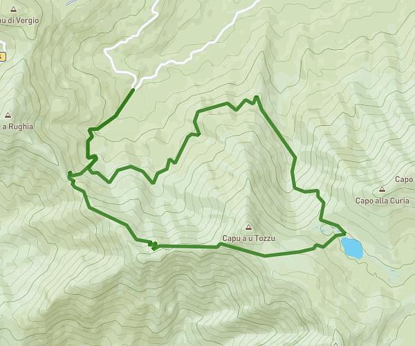
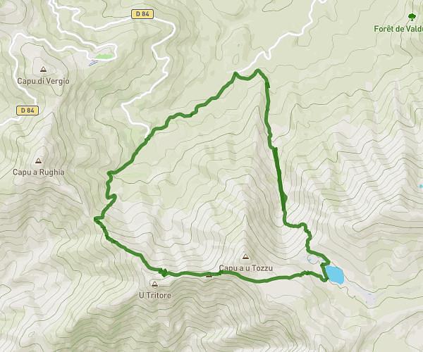
This hiking trail covers 6.982mi starting from Asco, Haute-Corse. The hike does not return to the trailhead and ends near D 318, 20224 Albertacce, France. This hike is rated as strenuous, plan for about 6h18m to complete it. The route has an elevation gain of 4403ft and an elevation loss of 4327ft.
GR20-03_Ascu-Ballone
Route details
1.11mph
Speed
3173 kcal
Calories burned
23.7%
Avg grade
Point to point
Route type
4649ft
Min altitude
8720ft
Max altitude
High altitude
Steep climb
Route profile
4403ft
Elevation gain
4327ft
Elevation loss
4649ft
Min altitude
8720ft
Max altitude
How to get there
Trailhead: D 147, 20276 Asco, France
GPS coordinates of the trailhead: 42.40338, 8.923033 / 42°24'12'' N, 8°55'22'' E