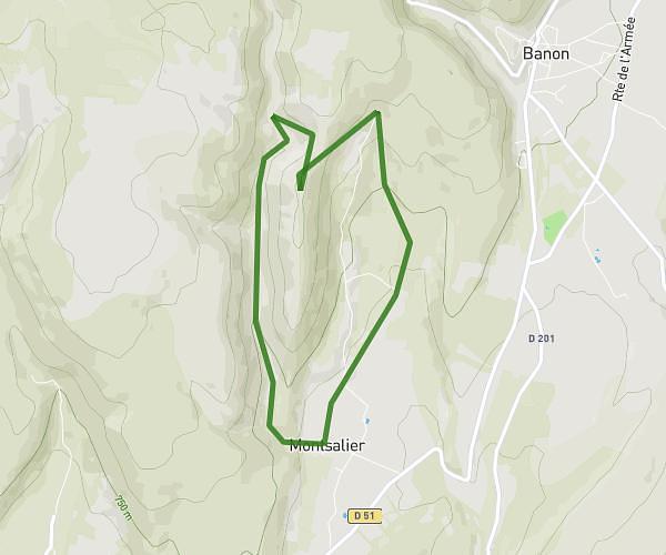
This hiking trail covers 6.558mi starting from Saint-Étienne-les-Orgues, Alpes-de-Haute-Provence. The hike is a loop trail and returns to the trailhead. This hike is rated as strenuous, plan for about 2h20m to complete it. The route has an elevation gain of 1506ft and an elevation loss of 1509ft.
Rando Lure avec mika
Route details
2.8mph
Speed
1054 kcal
Calories burned
8.7%
Avg grade
Loop trail
Route type
4918ft
Min altitude
5971ft
Max altitude
Steep climb
Route profile
1506ft
Elevation gain
1509ft
Elevation loss
4918ft
Min altitude
5971ft
Max altitude
How to get there
Trailhead: 9998 Route De Lure, 04230 Saint-Étienne-les-Orgues, France
GPS coordinates of the trailhead: 44.107045, 5.784886 / 44°6'25'' N, 5°47'5'' E