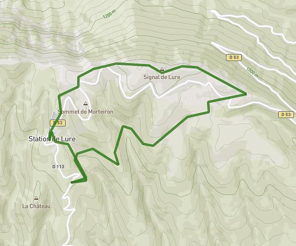
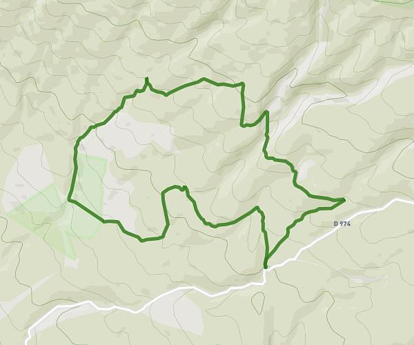
This hiking trail covers 4.653mi starting from Montsalier, Alpes-de-Haute-Provence. The hike is a loop trail and returns to the trailhead. This hike is rated as moderate, plan for about 53m to complete it. The route has an elevation gain of 846ft and an elevation loss of 846ft.
Rando montsalier avec mika
Route details
5.27mph
Speed
392 kcal
Calories burned
6.9%
Avg grade
Loop trail
Route type
2221ft
Min altitude
2969ft
Max altitude
Route profile
846ft
Elevation gain
846ft
Elevation loss
2221ft
Min altitude
2969ft
Max altitude
How to get there
Trailhead: 38 Rue De L'église, 04150 Montsalier, France
GPS coordinates of the trailhead: 44.01224, 5.608961 / 44°0'44'' N, 5°36'32'' E