MapPlanner
2.387mi
Distance
14m
Duration
10.23mph
Speed
+98ft
Elevation gain
-98ft
Elevation loss
Easy
Level

Edward 6ans première sortie

Route details

124 kcal
Calories burned
1.6%
Avg grade
Loop trail
Route type
240ft
Min altitude
302ft
Max altitude

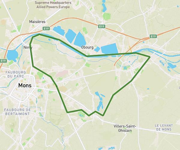
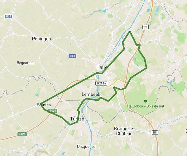
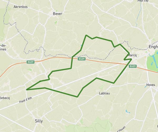
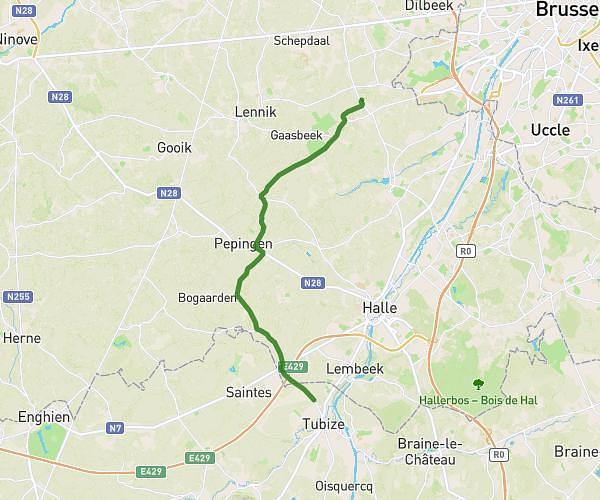
This cycling route covers 2.387mi starting from Soignies, Hainaut. The ride is a loop trail and returns to the trailhead. This route is rated as easy, plan for about 14m to complete it. The route has an elevation gain of 98ft and an elevation loss of 98ft.

Route profile

98ft
Elevation gain
98ft
Elevation loss
240ft
Min altitude
302ft
Max altitude

How to get there

Trailhead: Avenue Jacques Brel 8, 7060 Soignies, Hainaut, Belgium

GPS coordinates of the trailhead: 50.58596, 4.05903 / 50°35'9'' N, 4°3'32'' E

Caution: May Cross Private Property

This route may pass through or near private property. Always respect posted signs, obtain permission where required, and follow local trespassing laws. MapPlanner does not guarantee public access along any route.

Safety Notice

Trail and road conditions may change without notice due to weather, construction, or other factors. Always verify current conditions before heading out. You are responsible for your own safety — follow local signage, obey traffic laws, and use your best judgment on the trail.