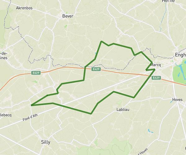
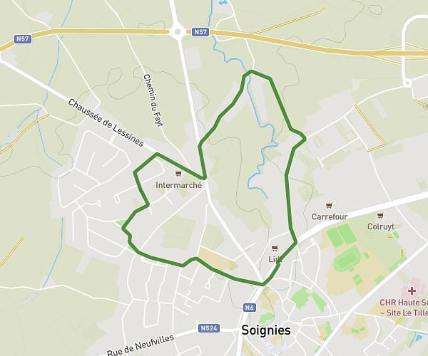
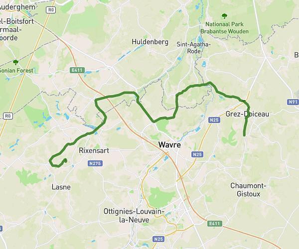
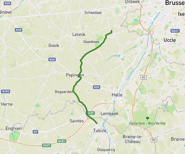
This cycling route covers 19.684mi starting from Halle, Flemish Brabant. The ride is a loop trail and returns to the trailhead. This route is rated as moderate, plan for about 45m15s to complete it. The route has an elevation gain of 187ft and an elevation loss of 262ft.
gp halle 2026
Route details
397 kcal
Calories burned
0.4%
Avg grade
Loop trail
Route type
89ft
Min altitude
259ft
Max altitude
Route profile
187ft
Elevation gain
262ft
Elevation loss
89ft
Min altitude
259ft
Max altitude
How to get there
Trailhead: Edingensesteenweg 190, 1500 Halle, Flemish Brabant, Belgium
GPS coordinates of the trailhead: 50.72881, 4.2233 / 50°43'43'' N, 4°13'23'' E