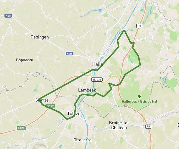
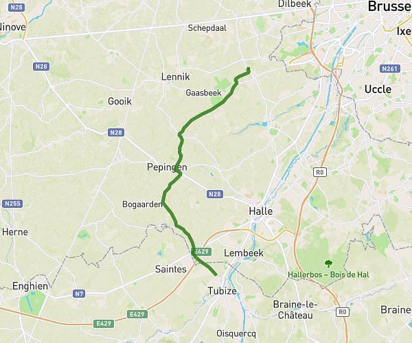
This cycling route covers 18.263mi starting from Lasne, Walloon Brabant. The ride does not return to the trailhead and ends near Rue Du Péry, 1390 Grez-Doiceau. This route is rated as moderate, plan for about 1h5m to complete it. The route has an elevation gain of 151ft and an elevation loss of 299ft.
Boucle part1
Route details
570 kcal
Calories burned
0.5%
Avg grade
Point to point
Route type
151ft
Min altitude
358ft
Max altitude
Route profile
151ft
Elevation gain
299ft
Elevation loss
151ft
Min altitude
358ft
Max altitude
How to get there
Trailhead: Clos De La Fontaine, 1380 Lasne
GPS coordinates of the trailhead: 50.70428, 4.48981 / 50°42'15'' N, 4°29'23'' E