MapPlanner
2.114mi
Distance
20m55s
Duration
9:54/mi
Pace
Easy
Level

Debut

Route details

6.06mph
Speed
239 kcal
Calories burned
Loop trail
Route type
407ft
Min altitude
440ft
Max altitude

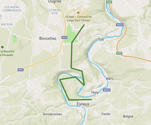
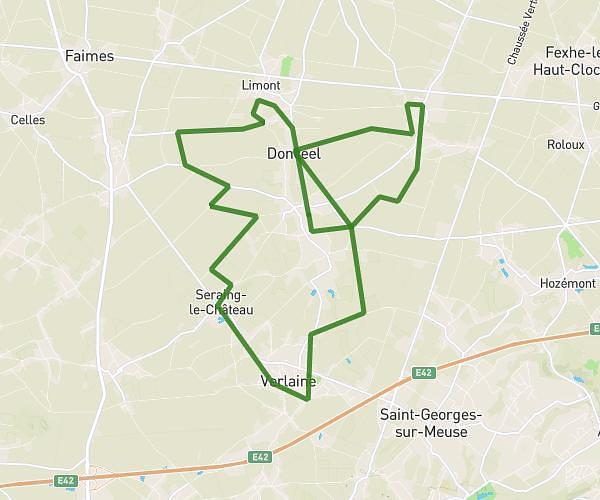
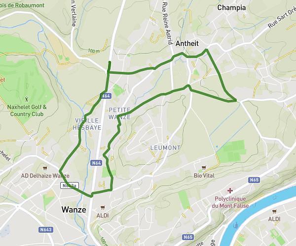
This running route covers 2.114mi starting from Remicourt, Liege. The run is a loop trail and returns to the trailhead. This run is rated as easy, expect about 20m55s to complete it. The route has an elevation gain of 26ft and an elevation loss of 33ft.

Route profile

26ft
Elevation gain
33ft
Elevation loss
407ft
Min altitude
440ft
Max altitude

How to get there

Trailhead: Rue Hautes Saules, 4350 Remicourt

GPS coordinates of the trailhead: 50.69105, 5.31204 / 50°41'27'' N, 5°18'43'' E

Caution: May Cross Private Property

This route may pass through or near private property. Always respect posted signs, obtain permission where required, and follow local trespassing laws. MapPlanner does not guarantee public access along any route.

Safety Notice

Trail and road conditions may change without notice due to weather, construction, or other factors. Always verify current conditions before heading out. You are responsible for your own safety — follow local signage, obey traffic laws, and use your best judgment on the trail.