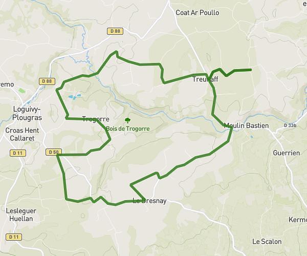
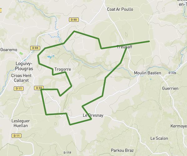
This cycling route covers 18.879mi starting from Plounévez-Moëdec, Côtes-d'Armor. The ride is a loop trail and returns to the trailhead. This route is rated as moderate, plan for about 1h54m to complete it. The route has an elevation gain of 377ft and an elevation loss of 407ft.
montés sainte jeune 30km
Route details
1003 kcal
Calories burned
0.8%
Avg grade
Loop trail
Route type
430ft
Min altitude
758ft
Max altitude
Route profile
377ft
Elevation gain
407ft
Elevation loss
430ft
Min altitude
758ft
Max altitude
How to get there
Trailhead: 7 Penn An Nec’H, 22810 Plounévez-Moëdec, France
GPS coordinates of the trailhead: 48.52954, -3.41583 / 48°31'46'' N, 3°24'56'' W