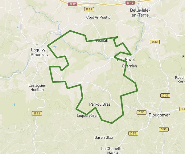
This cycling route covers 11.441mi starting from Plounévez-Moëdec, Côtes-d'Armor. The ride is a loop trail and returns to the trailhead. This route is rated as moderate, plan for about 1h9m to complete it. The route has an elevation gain of 338ft and an elevation loss of 285ft.
rando attelés 18 km
Route details
608 kcal
Calories burned
1.0%
Avg grade
Loop trail
Route type
446ft
Min altitude
633ft
Max altitude
Route profile
338ft
Elevation gain
285ft
Elevation loss
446ft
Min altitude
633ft
Max altitude
How to get there
Trailhead: 7 Penn An Nec’H, 22810 Plounévez-Moëdec, France
GPS coordinates of the trailhead: 48.52949, -3.41629 / 48°31'46'' N, 3°24'58'' W