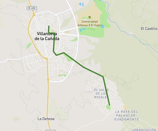
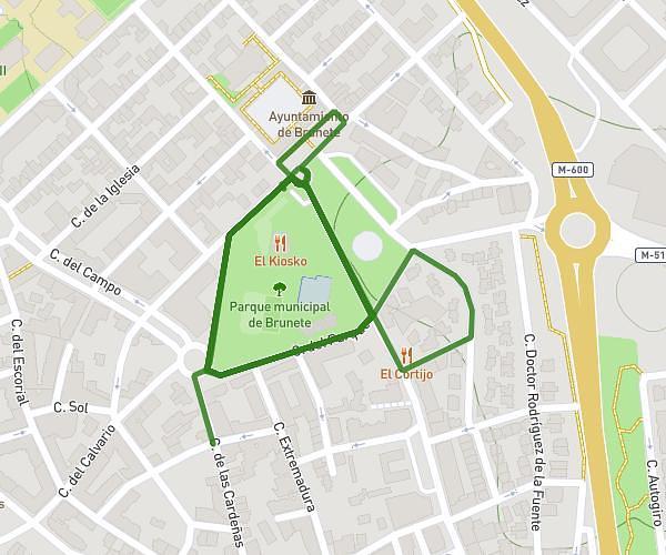
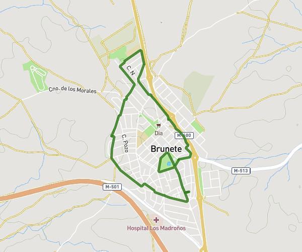
This running route covers 1.928mi starting from Moralzarzal, Madrid. The run is a loop trail and returns to the trailhead. This run is rated as easy, expect about 37m14s to complete it. The route has an elevation gain of 135ft and an elevation loss of 135ft.
cuesta laguna
Route details
3.11mph
Speed
426 kcal
Calories burned
Loop trail
Route type
3022ft
Min altitude
3153ft
Max altitude
Route profile
135ft
Elevation gain
135ft
Elevation loss
3022ft
Min altitude
3153ft
Max altitude
How to get there
Trailhead: Camino De Los Chaparrillos, 28411 Moralzarzal
GPS coordinates of the trailhead: 40.66717, -3.97035 / 40°40'1'' N, 3°58'13'' W