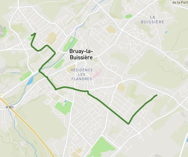
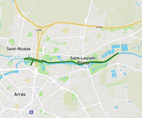
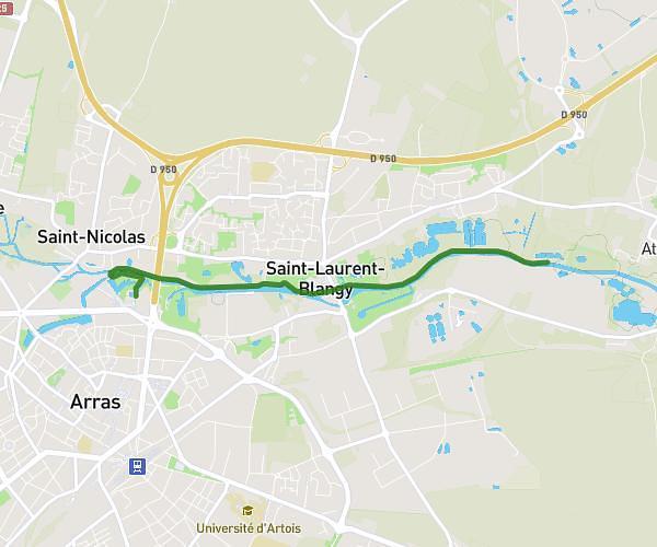
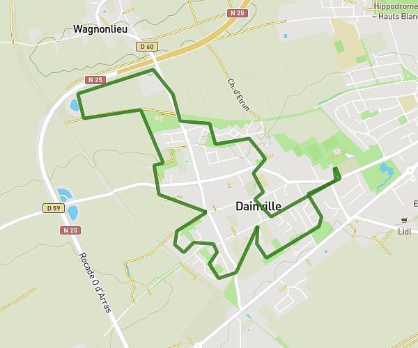
This hiking trail covers 8.559mi starting from Penin, Pas-de-Calais. The hike does not return to the trailhead and ends near Rue De Saint-Léger, 62127 Averdoingt, France. This hike is rated as easy, plan for about 2h58m to complete it. The route has an elevation gain of 348ft and an elevation loss of 331ft.
marche JA 1
Route details
2.88mph
Speed
1262 kcal
Calories burned
1.5%
Avg grade
Point to point
Route type
400ft
Min altitude
479ft
Max altitude
Route profile
348ft
Elevation gain
331ft
Elevation loss
400ft
Min altitude
479ft
Max altitude
How to get there
Trailhead: 1 Rue De Tincques, 62127 Penin, France
GPS coordinates of the trailhead: 50.328924, 2.48445 / 50°19'44'' N, 2°29'4'' E