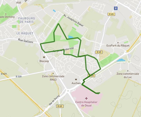
This hiking trail covers 3.688mi starting from Arras, Pas-de-Calais. The hike is a loop trail and returns to the trailhead. This hike is rated as easy, plan for about 1h25m to complete it. The route has an elevation gain of 157ft and an elevation loss of 157ft.
La scarpe aller retour
Route details
2.6mph
Speed
603 kcal
Calories burned
1.6%
Avg grade
Loop trail
Route type
164ft
Min altitude
190ft
Max altitude
Route profile
157ft
Elevation gain
157ft
Elevation loss
164ft
Min altitude
190ft
Max altitude
How to get there
Trailhead: 25 Boulevard Robert Schuman, 62000 Arras, France
GPS coordinates of the trailhead: 50.298222, 2.781534 / 50°17'53'' N, 2°46'53'' E