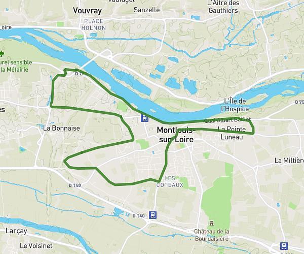
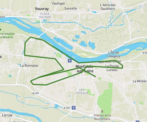
This running route covers 4.826mi starting from Mettray, Indre-et-Loire. The run is a loop trail and returns to the trailhead. This run is rated as easy, expect about 47m to complete it. The route has an elevation gain of 427ft and an elevation loss of 427ft.
Parcours rallonge
Route details
6.16mph
Speed
537 kcal
Calories burned
Loop trail
Route type
180ft
Min altitude
325ft
Max altitude
Route profile
427ft
Elevation gain
427ft
Elevation loss
180ft
Min altitude
325ft
Max altitude
How to get there
Trailhead: Rue De La Choisille, 37390 Mettray
GPS coordinates of the trailhead: 47.45329, 0.65102 / 47°27'11'' N, 0°39'3'' E