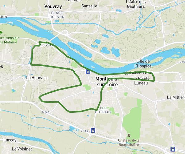
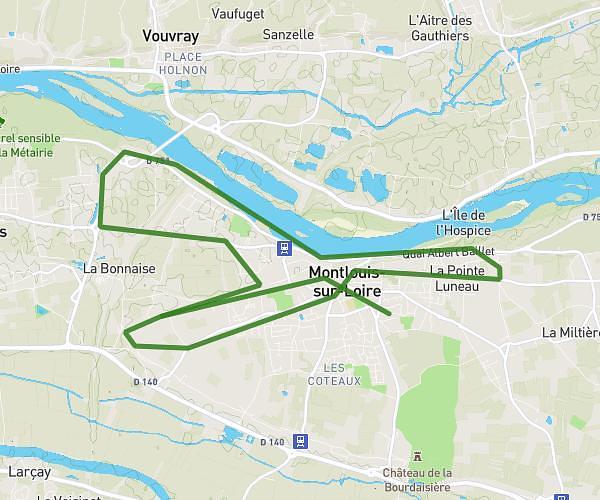
This running route covers 3.4mi starting from Fondettes, Indre-et-Loire. The run is a loop trail and returns to the trailhead. This run is rated as easy, expect about 27m21s to complete it. The route has an elevation gain of 30ft and an elevation loss of 33ft.
5k maison
Route details
7.46mph
Speed
313 kcal
Calories burned
Loop trail
Route type
276ft
Min altitude
305ft
Max altitude
Route profile
30ft
Elevation gain
33ft
Elevation loss
276ft
Min altitude
305ft
Max altitude
How to get there
Trailhead: Rue Éric Tabarly, 37230 Fondettes
GPS coordinates of the trailhead: 47.40243, 0.58662 / 47°24'8'' N, 0°35'11'' E