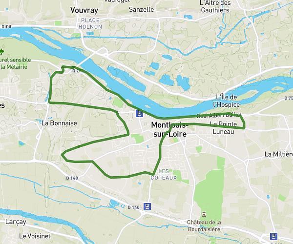
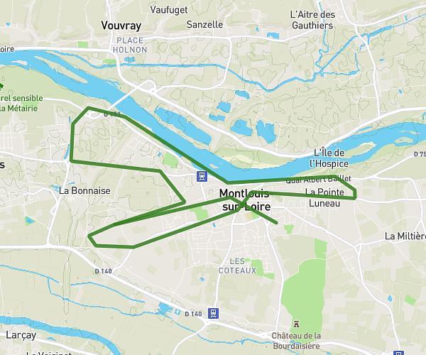
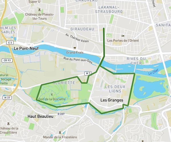
This running route covers 7.709mi starting from Tours, Indre-et-Loire. The run is a loop trail and returns to the trailhead. This run is rated as hard, expect about 1h7m to complete it. The route has an elevation gain of 7ft and an elevation loss of 3ft.
Bord de Loire Pont national
Route details
6.84mph
Speed
774 kcal
Calories burned
Loop trail
Route type
174ft
Min altitude
177ft
Max altitude
Route profile
7ft
Elevation gain
3ft
Elevation loss
174ft
Min altitude
177ft
Max altitude
How to get there
Trailhead: 12 Rue Auguste Comte, 37000 Tours, France
GPS coordinates of the trailhead: 47.3874, 0.69092 / 47°23'14'' N, 0°41'27'' E