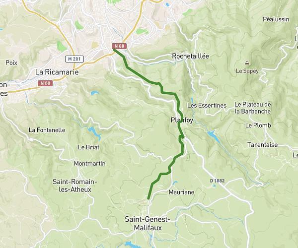
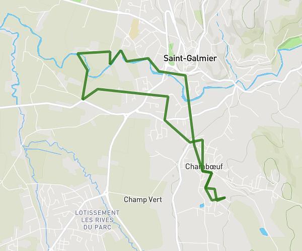
This running route covers 7.128mi starting from Boisset-Saint-Priest, Loire. The run is a loop trail and returns to the trailhead. This run is rated as moderate, expect about 1h5m to complete it. The route has an elevation gain of 538ft and an elevation loss of 545ft.
27/08/2023
Route details
6.58mph
Speed
743 kcal
Calories burned
Loop trail
Route type
1942ft
Min altitude
2175ft
Max altitude
Route profile
538ft
Elevation gain
545ft
Elevation loss
1942ft
Min altitude
2175ft
Max altitude
How to get there
Trailhead: Allée De La Passiflore, 42560 Boisset-Saint-Priest
GPS coordinates of the trailhead: 45.51263, 4.09664 / 45°30'45'' N, 4°5'47'' E