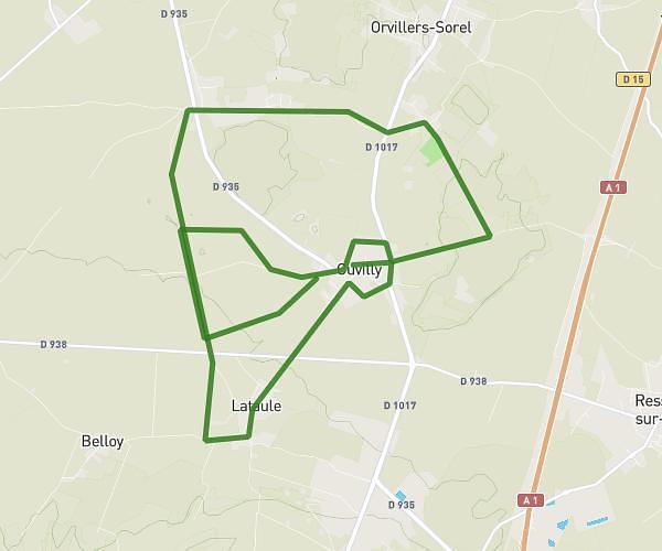
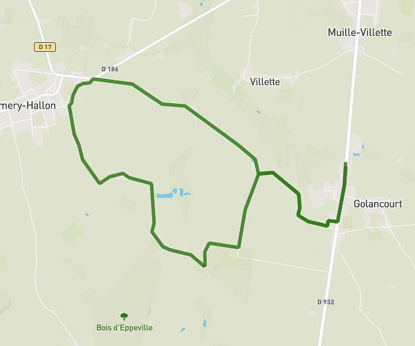
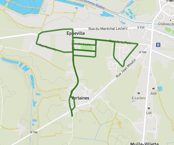
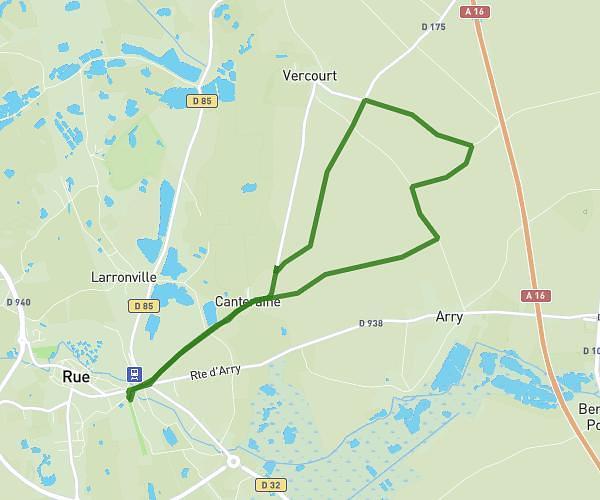
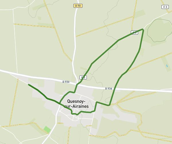
This running route covers 4.419mi starting from Fresnoy-lès-Roye, Somme. The run is a loop trail and returns to the trailhead. This run is rated as easy, expect about 53m19s to complete it. The route has an elevation gain of 36ft and an elevation loss of 30ft.
Maison
Route details
4.97mph
Speed
610 kcal
Calories burned
Loop trail
Route type
272ft
Min altitude
302ft
Max altitude
Route profile
36ft
Elevation gain
30ft
Elevation loss
272ft
Min altitude
302ft
Max altitude
How to get there
Trailhead: 1 Rue Lelion, 80700 Fresnoy-lès-Roye, France
GPS coordinates of the trailhead: 49.7376, 2.77447 / 49°44'15'' N, 2°46'28'' E