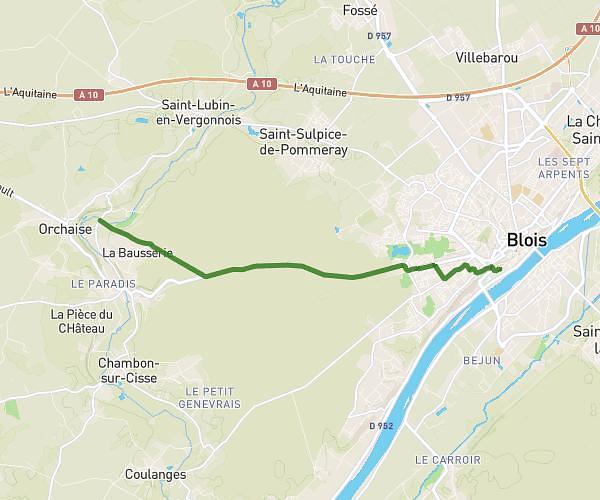
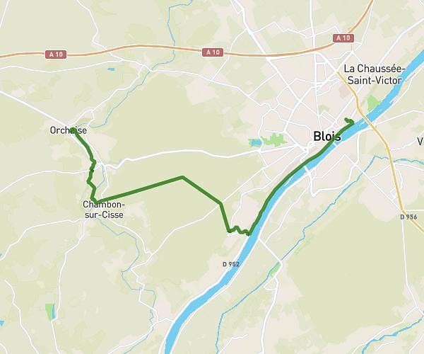
This hiking trail covers 2.895mi starting from Blois, Loir-et-Cher. The hike does not return to the trailhead and ends near 9 Place Jean Jaurès, 41000 Blois, France. This hike is rated as easy, plan for about 34m56s to complete it. The route has an elevation gain of 295ft and an elevation loss of 282ft.
CR2025_PARTIE2
Route details
4.97mph
Speed
252 kcal
Calories burned
3.8%
Avg grade
Point to point
Route type
220ft
Min altitude
351ft
Max altitude
Route profile
295ft
Elevation gain
282ft
Elevation loss
220ft
Min altitude
351ft
Max altitude
How to get there
Trailhead: 4 Rue Franciade, 41000 Blois, France
GPS coordinates of the trailhead: 47.588767, 1.329514 / 47°35'19'' N, 1°19'46'' E