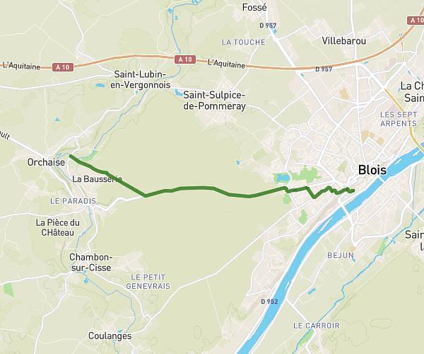
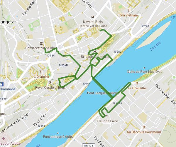
This hiking trail covers 11.48mi starting from Valencisse, Loir-et-Cher. The hike does not return to the trailhead and ends near 4 Rampe De La Maladrerie, 41000 Blois, France. This hike is rated as moderate, plan for about 4h38m to complete it. The route has an elevation gain of 561ft and an elevation loss of 650ft.
Orchaise- les grouets- Basilique
Route details
2.48mph
Speed
1976 kcal
Calories burned
2.0%
Avg grade
Point to point
Route type
217ft
Min altitude
479ft
Max altitude
Route profile
561ft
Elevation gain
650ft
Elevation loss
217ft
Min altitude
479ft
Max altitude
How to get there
Trailhead: 4 Place De L'église, 41190 Valencisse, France
GPS coordinates of the trailhead: 47.589198, 1.199843 / 47°35'21'' N, 1°11'59'' E