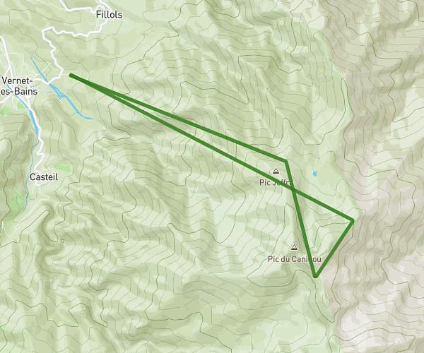
This hiking trail covers 3.33mi starting from Sainte-Colombe-de-la-Commanderie, Pyrénées-Orientales. The hike does not return to the trailhead and ends near 2 Carrer De La Font D'amunt, 66300 Castelnou, France. This hike is rated as moderate, plan for about 1h35m to complete it. The route has an elevation gain of 869ft and an elevation loss of 486ft.
Ste colombe
Route details
2.1mph
Speed
720 kcal
Calories burned
7.7%
Avg grade
Point to point
Route type
509ft
Min altitude
1286ft
Max altitude
Route profile
869ft
Elevation gain
486ft
Elevation loss
509ft
Min altitude
1286ft
Max altitude
How to get there
Trailhead: Chemin De Terrats, 66300 Sainte-Colombe-de-la-Commanderie, France
GPS coordinates of the trailhead: 42.61453, 2.7486 / 42°36'52'' N, 2°44'54'' E