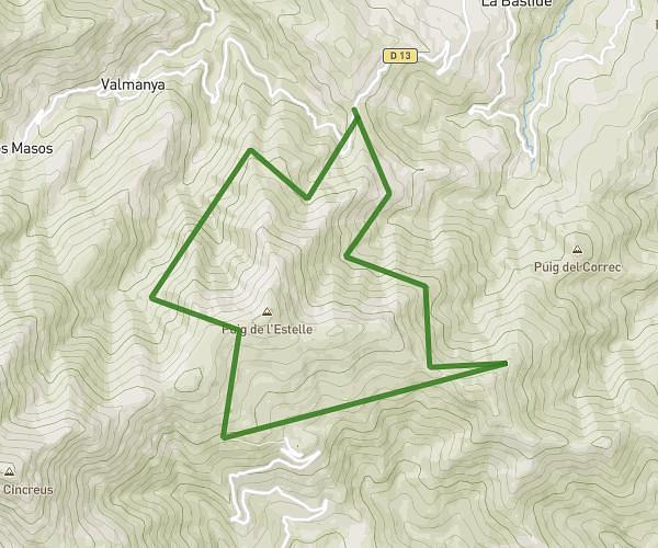
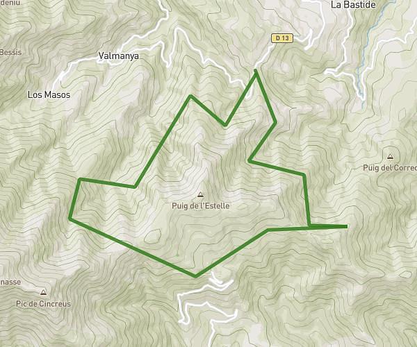
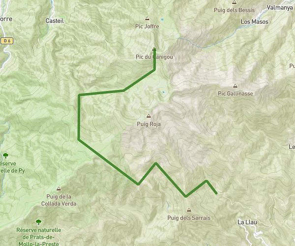
This hiking trail covers 15.525mi starting from Vernet-les-Bains, Pyrénées-Orientales. The hike is a loop trail and returns to the trailhead. This hike is rated as strenuous, plan for about 10h to complete it. The route has an elevation gain of 7218ft and an elevation loss of 7234ft.
Canigou
Route details
1.55mph
Speed
4816 kcal
Calories burned
17.6%
Avg grade
Loop trail
Route type
2451ft
Min altitude
8947ft
Max altitude
High altitude
Steep climb
Route profile
7218ft
Elevation gain
7234ft
Elevation loss
2451ft
Min altitude
8947ft
Max altitude
How to get there
Trailhead: 2 Chemin Piétonnier Du Canigou, 66820 Vernet-les-Bains, France
GPS coordinates of the trailhead: 42.55038, 2.40106 / 42°33'1'' N, 2°24'3'' E