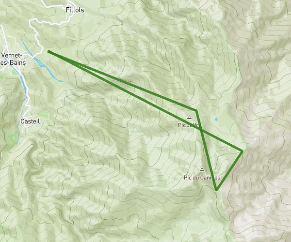
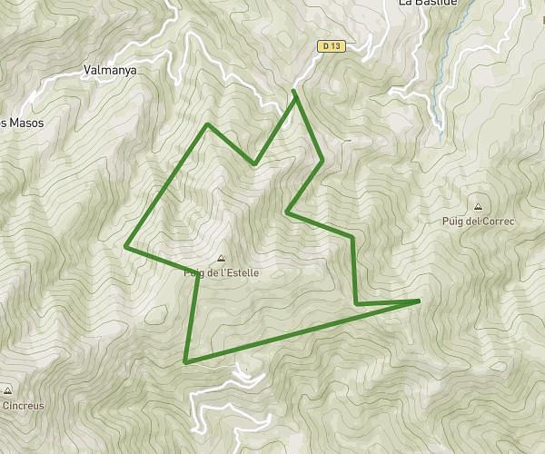
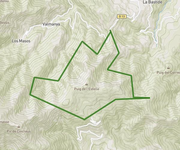
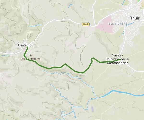
This hiking trail covers 15.527mi starting from Le Tech, Pyrénées-Orientales. The hike does not return to the trailhead and ends near 66820 Vernet-les-Bains. This hike is rated as strenuous, plan for about 4h59m to complete it. The route has an elevation gain of 6801ft and an elevation loss of 2215ft.
sant guillem pic canigou
Route details
3.11mph
Speed
2389 kcal
Calories burned
11.0%
Avg grade
Point to point
Route type
4216ft
Min altitude
8802ft
Max altitude
High altitude
Steep climb
Route profile
6801ft
Elevation gain
2215ft
Elevation loss
4216ft
Min altitude
8802ft
Max altitude
How to get there
Trailhead: Saint Guillem, 66230 Le Tech
GPS coordinates of the trailhead: 42.45245, 2.49534 / 42°27'8'' N, 2°29'43'' E