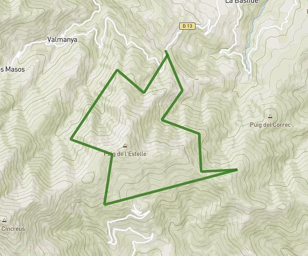
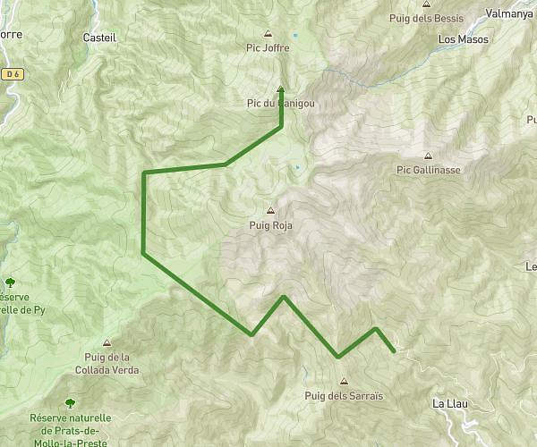
This hiking trail covers 12.871mi starting from La Bastide, Pyrénées-Orientales. The hike is a loop trail and returns to the trailhead. This hike is rated as strenuous, plan for about 7h to complete it. The route has an elevation gain of 2913ft and an elevation loss of 2923ft.
Palomere
Route details
1.84mph
Speed
3150 kcal
Calories burned
8.6%
Avg grade
Loop trail
Route type
3376ft
Min altitude
5679ft
Max altitude
Steep climb
Route profile
2913ft
Elevation gain
2923ft
Elevation loss
3376ft
Min altitude
5679ft
Max altitude
How to get there
Trailhead: D 13, 66320 La Bastide, France
GPS coordinates of the trailhead: 42.53547, 2.56595 / 42°32'7'' N, 2°33'57'' E