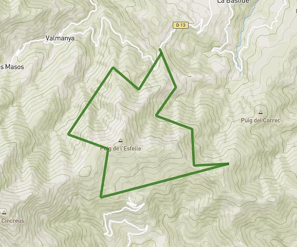
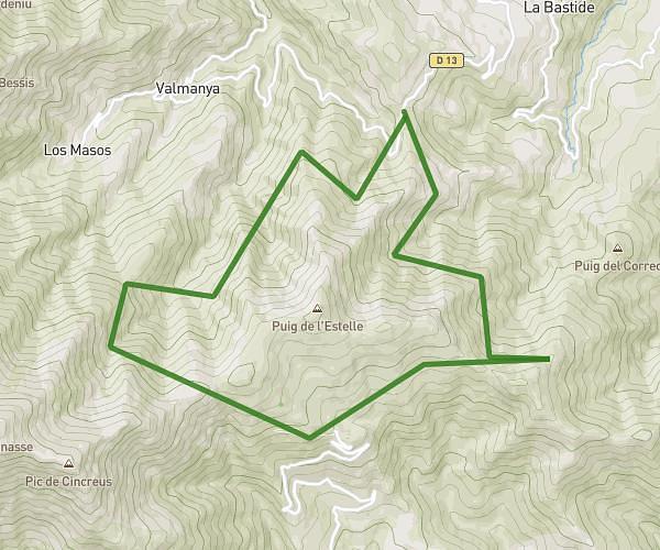
This hiking trail covers 6.073mi starting from Codalet, Pyrénées-Orientales. The hike is a loop trail and returns to the trailhead. This hike is rated as hard, plan for about 3h15m to complete it. The route has an elevation gain of 1470ft and an elevation loss of 1486ft.
codalet à Taurinya
Route details
1.86mph
Speed
1473 kcal
Calories burned
9.2%
Avg grade
Loop trail
Route type
1250ft
Min altitude
1864ft
Max altitude
Steep climb
Route profile
1470ft
Elevation gain
1486ft
Elevation loss
1250ft
Min altitude
1864ft
Max altitude
How to get there
Trailhead: 22 Route De Saint-Michel, 66500 Codalet, France
GPS coordinates of the trailhead: 42.609539, 2.417048 / 42°36'34'' N, 2°25'1'' E