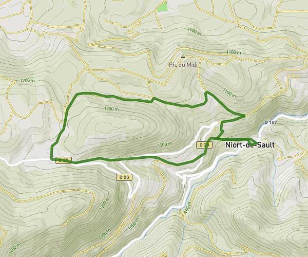
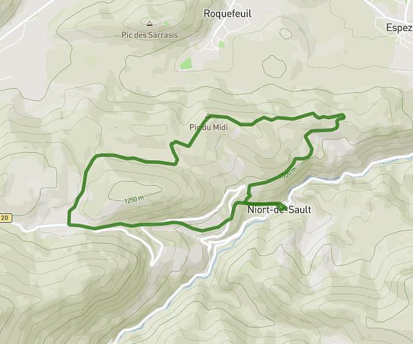
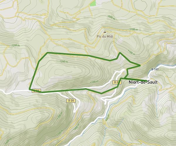
This hiking trail covers 5.997mi starting from Saint-Martin-Lys, Aude. The hike is a loop trail and returns to the trailhead. This hike is rated as strenuous, plan for about 1h8m to complete it. The route has an elevation gain of 2339ft and an elevation loss of 2339ft.
Saint Martin Lys
Route details
5.29mph
Speed
535 kcal
Calories burned
14.8%
Avg grade
Loop trail
Route type
1201ft
Min altitude
3166ft
Max altitude
Steep climb
Route profile
2339ft
Elevation gain
2339ft
Elevation loss
1201ft
Min altitude
3166ft
Max altitude
How to get there
Trailhead: 9 Chemin Des Fanges, 11500 Saint-Martin-Lys, France
GPS coordinates of the trailhead: 42.82764, 2.22703 / 42°49'39'' N, 2°13'37'' E