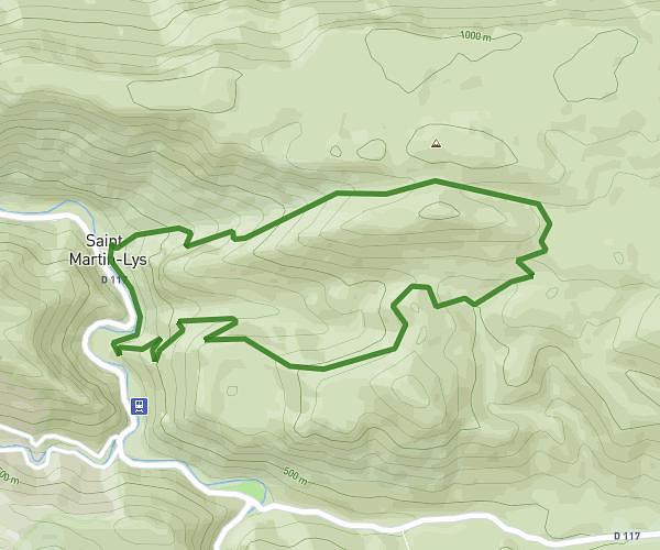
This hiking trail covers 4.374mi starting from Niort-de-Sault, Aude. The hike is a loop trail and returns to the trailhead. This hike is rated as hard, plan for about 3h52m to complete it. The route has an elevation gain of 1280ft and an elevation loss of 1280ft.
randomelette 7km 400d+
Route details
1.13mph
Speed
1774 kcal
Calories burned
11.1%
Avg grade
Loop trail
Route type
2743ft
Min altitude
3934ft
Max altitude
Steep climb
Route profile
1280ft
Elevation gain
1280ft
Elevation loss
2743ft
Min altitude
3934ft
Max altitude
How to get there
Trailhead: Route Du Pradel, 11140 Niort-de-Sault
GPS coordinates of the trailhead: 42.80229, 2.0043 / 42°48'8'' N, 2°0'15'' E