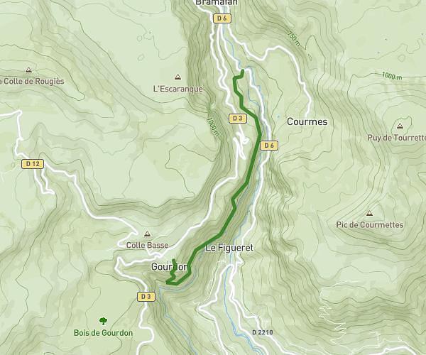
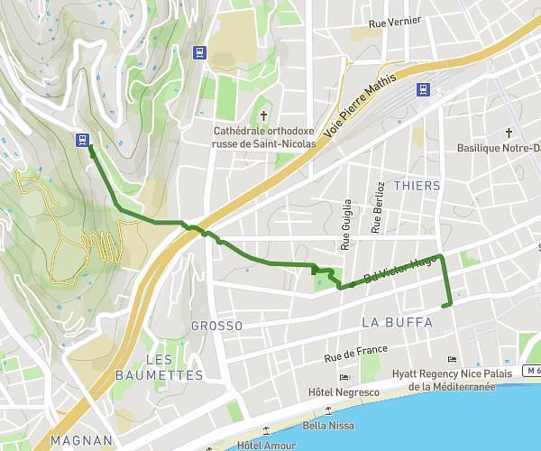
This hiking trail covers 13.041mi starting from Nice, Alpes-Maritimes. The hike is a loop trail and returns to the trailhead. This hike is rated as moderate, plan for about 2h1s to complete it. The route has an elevation gain of 456ft and an elevation loss of 456ft.
Sortie longue dimanche 24 sept
Route details
6.52mph
Speed
849 kcal
Calories burned
1.3%
Avg grade
Loop trail
Route type
7ft
Min altitude
39ft
Max altitude
Route profile
456ft
Elevation gain
456ft
Elevation loss
7ft
Min altitude
39ft
Max altitude
How to get there
Trailhead: Quai Des États-Unis, 06300 Nice
GPS coordinates of the trailhead: 43.6952, 7.26997 / 43°41'42'' N, 7°16'11'' E