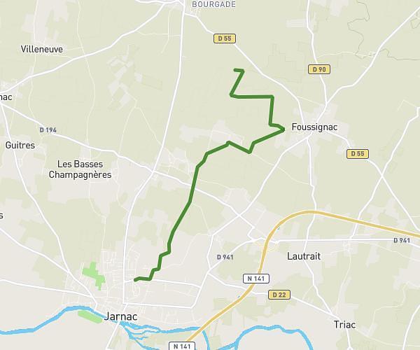
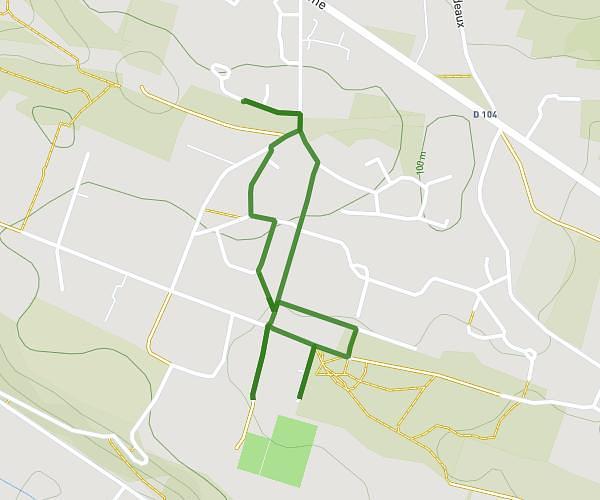
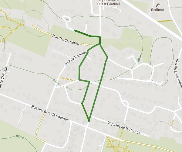
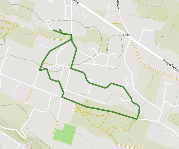
This walking route covers 2.838mi starting from Échallat, Charente. The walk is a loop trail and returns to the trailhead. This walk is rated as easy, plan for about 1h30m to complete it. The route has an elevation gain of 210ft and an elevation loss of 210ft.
Echa'alors
Route details
31:40/mi
Pace
368 kcal
Calories burned
Loop trail
Route type
305ft
Min altitude
381ft
Max altitude
Route profile
210ft
Elevation gain
210ft
Elevation loss
305ft
Min altitude
381ft
Max altitude
How to get there
Trailhead: 83 Rue De La Forge, 16170 Échallat, France
GPS coordinates of the trailhead: 45.722999, -0.045462 / 45°43'22'' N, 0°2'43'' W